Arviat (ᐊᕐᕕᐊᑦ) and Sentry Island
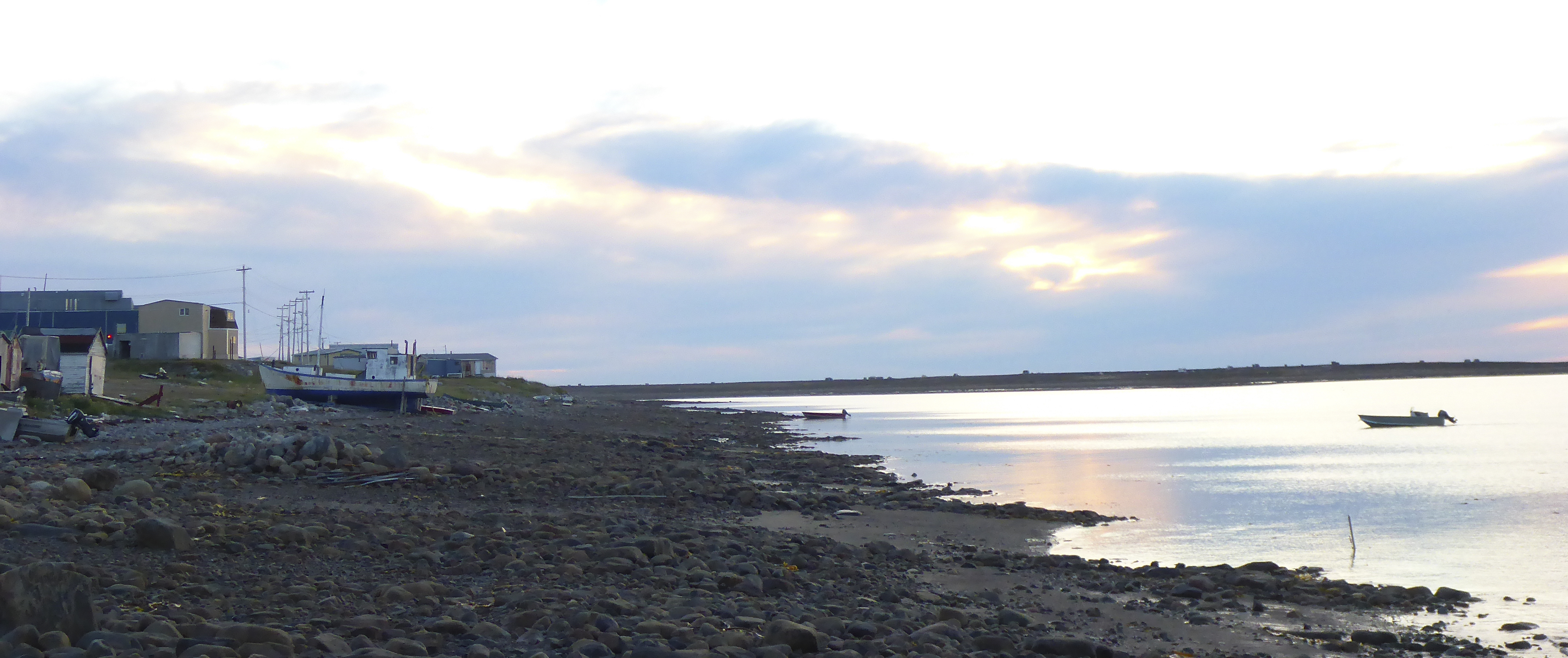
Today, the community of Arviat (ᐊᕐᕕᐊᑦ) has a population of approximately 2,800 of whom 92% are Inuit, and who collectively identify as Arviamiut. The community, which was once known as Eskimo Point, is known for its hunters and artists including seamstresses, painters, singers, and those who carve and sculpt in stone.
Seasonal conditions in Arviat range between an average temperature in January of -30°C to an average of +10 °C in July and August. The cold winters last from November to May, with the average temperature being below 0°C between October and May. The low summer temperatures are partially due to the large amount of drift ice that enters Hudson Bay from Foxe Channel, and Fury and Hecla Straight.
Though the area experiences deep cold and often challenging climactic conditions of the Arctic, it is also rich in resources. Poor drainage on the inner coastal plain dots the landscape with rivers and lakes, creating productive areas that supply fish and crossing locations for caribou. Inland, large herds of caribou migrate north in the summer to calve on the tundra and south in the winter to shelter south of the tree line. The tundra is also home to foxes, wolves, many small mammals such as ground squirrels and mice, and a multitude of species of birds. Pods of beluga whales are common, and polar bears migrate along the coast. In the summer time the land comes alive with the colours of flowers, lichens, mosses and willow bushes.
The coast of Hudson Bay near present day Arviat was a traditional summer gathering location for the Inuit. In the summer they would gather on the islands that lie close to shore where they camped, hunted, sought the sea breeze for refuge from the summer insects, played games, sang songs and renewed their bonds with friends and family. Arvia’juaq National Historic Site is found on the island of Arvia’juaq (also called Sentry Island). The island is a 30-45 minute boat ride away from the hamlet of Arviat. Arvia’juaq is a long, narrow island less than 4.5km long and 0.5km wide at its widest point and runs from the northwest to the southeast.
In the 18th century the Caribou Inuit became involved in the fur trade at Fort Prince of Wales. This participation was furthered with the establishment of a Hudson Bay Company trading post at Eskimo Point (present day Arviat), which furthered their dependence on European trade goods. Catholic and Anglican missionaries arrived in the Arviat area during the 1950s and 60s. During this era, the Royal Canadian Mounted Police also established a permanent detachment in Arviat. A federal day school was also built, as was a medical clinic. These developments brought permanent settlement to the area. In response to a decline in caribou populations and resulting hunger among the groups who depended on these animals, many inland groups were relocated to coastal settlements such as Arviat.
By the 1970s most of the Canadian Inuit had been relocated away from their lands to live in permanent settlements. The goal was to keep the Inuit from starving, however assimilationist laws were prevalent across Canada in the 20th century, and schools and churches run by missions attempted to re-educate the Inuit in Euro-Canadian and Christian ways of life. Under the assimilationist laws that were normal at the time children were required to leave their homes to be educated in settlements.
On April 1st 1999, as a result of the Nunavut Act and the Nunavut Land Claims Agreement Act, the new territory of Nunavut was carved out of the eastern portion of the Northwest Territories. Inuit, including the Caribou Inuit, comprise approximately 80% of the population of Nunavut. This demographic percentage gives more decision-making power to the Inuit when it comes to electing representatives to office. The Government of Nunavut controls education, and English, French, and Inuktitut are all official languages of Nunavut.
Today, the Caribou Inuit continue to harvest food from the land and sea including caribou, seal, beluga and fish, to supplement the food often purchased at grocery stores in the communities they live in. The hunting of polar bear is also practiced in the present day, for pelts as a part of an economy of guiding and tourism, and for meat (Luke Suluk, pers.com).

- Nunavut, Tourism
2016 Nunavut Region. http://nunavuttourism.com/about-nunavut/weather-climate http://nunavuttourism.com/regions-communities/arviat. - Thompson, D.C., G. H. Klassen, and J. Cihlar
1980 Caribou Habitat Mapping in the Southern District of Keewatin NWT: An Application of Digital Landsat Data. Journal of Applied Ecology 17:125-138. - McGhee, Robert
2005 The Last Imaginary Place. Chicago: The University of Chicago Press. - Birket-Smith, Kaj
1929 Report on the Fifth Thule Expedition 1921-24 1. Descriptive Part. W.E. Calvert, transl. Volume V. Copenhagen: Gyldeddalske Boghandel, Nordisk Forlag. - Nunavut, Legislative Assembly
2013 Statutory Report on Wildlife to the Nunavut Legislative Assembly. Government of Nunavut. - Arviat Historical Society
1992 Arviaq Oral History Project 1992-93. - Canada, Parks
2000 News Resease: Arvia'juaq and Qikiqtaarjuk National Historic Site of Canada. - Bertulli, Margaret
1990 Arviat Archaeology Project: Report of the 1989 Field Season. Prince of Wales Northern Hertiage Centre. - Fossett, Renee
2001 In Order to Live Untroubled: Inuit of the Central Arctic, 1550-1940. Winnipeg, Manitoba: University of Manitoba Press. - Statistics Canada
2015a Population Growth. http://www.statcan.gc.ca/pub/89-645-x/2010001/growth-pop-croissance-eng.htm.